
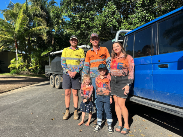
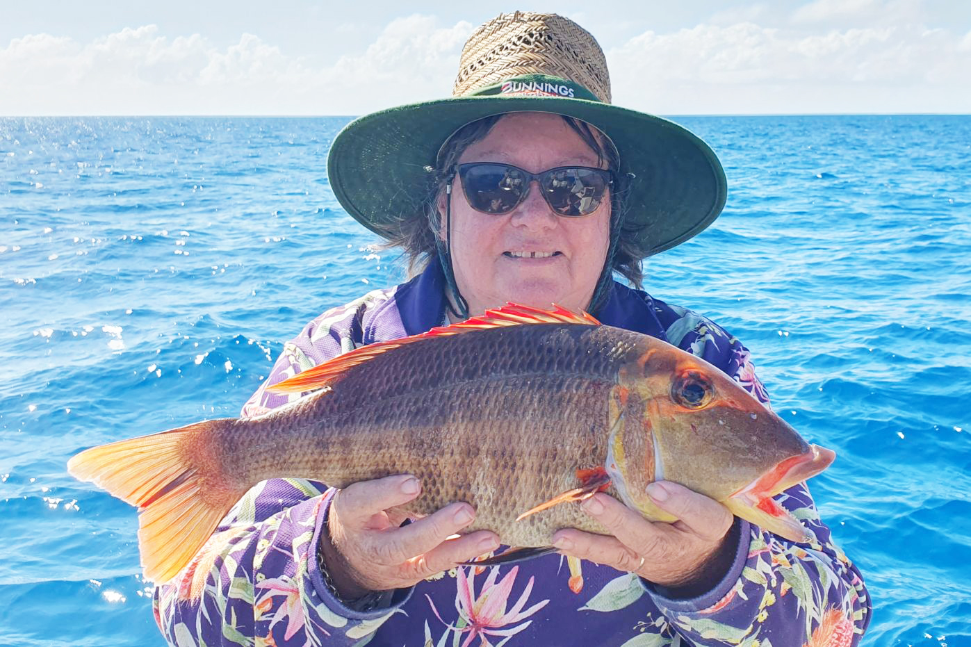
Independently Owned, Locally Grown, Community Loved
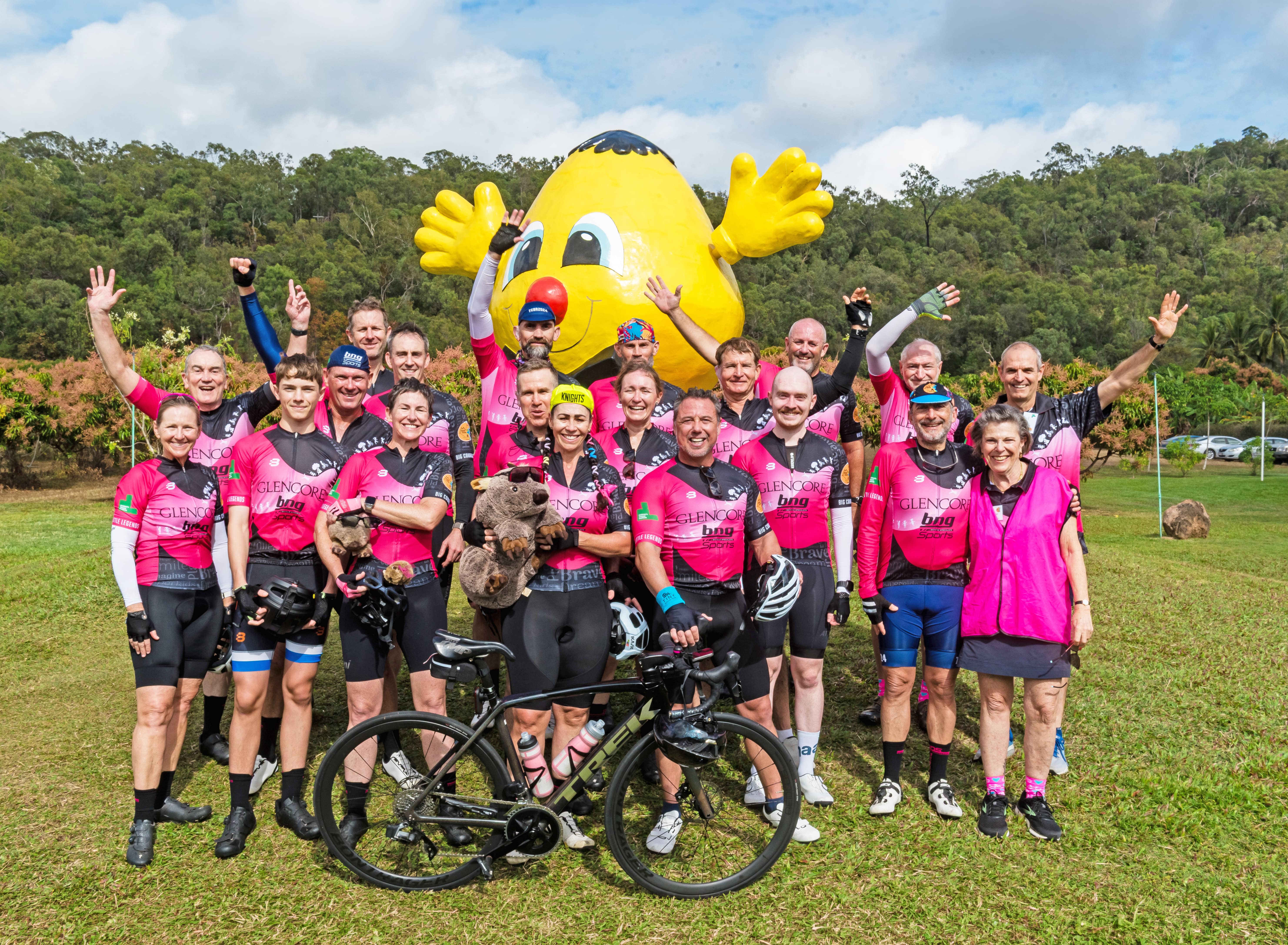
A stream of cyclists dressed in bright pink rolled into Ingham on Thursday as part of the 26th annual Townsville to Cairns Bike Ride, stopping in the Hinchinbrook Shire on the first day of their 374-kilometre journey to raise funds for childhood cancer research.
Covering the distance from Townsville to Cairns over three days, the ride unites cyclists, volunteers and local clubs in a shared mission to improve outcomes for children diagnosed with cancer. Since its beginning, the ride has raised more than $8 million for the Children's Cancer Institute, with this year's event aiming to add a further $300,000 to that total.

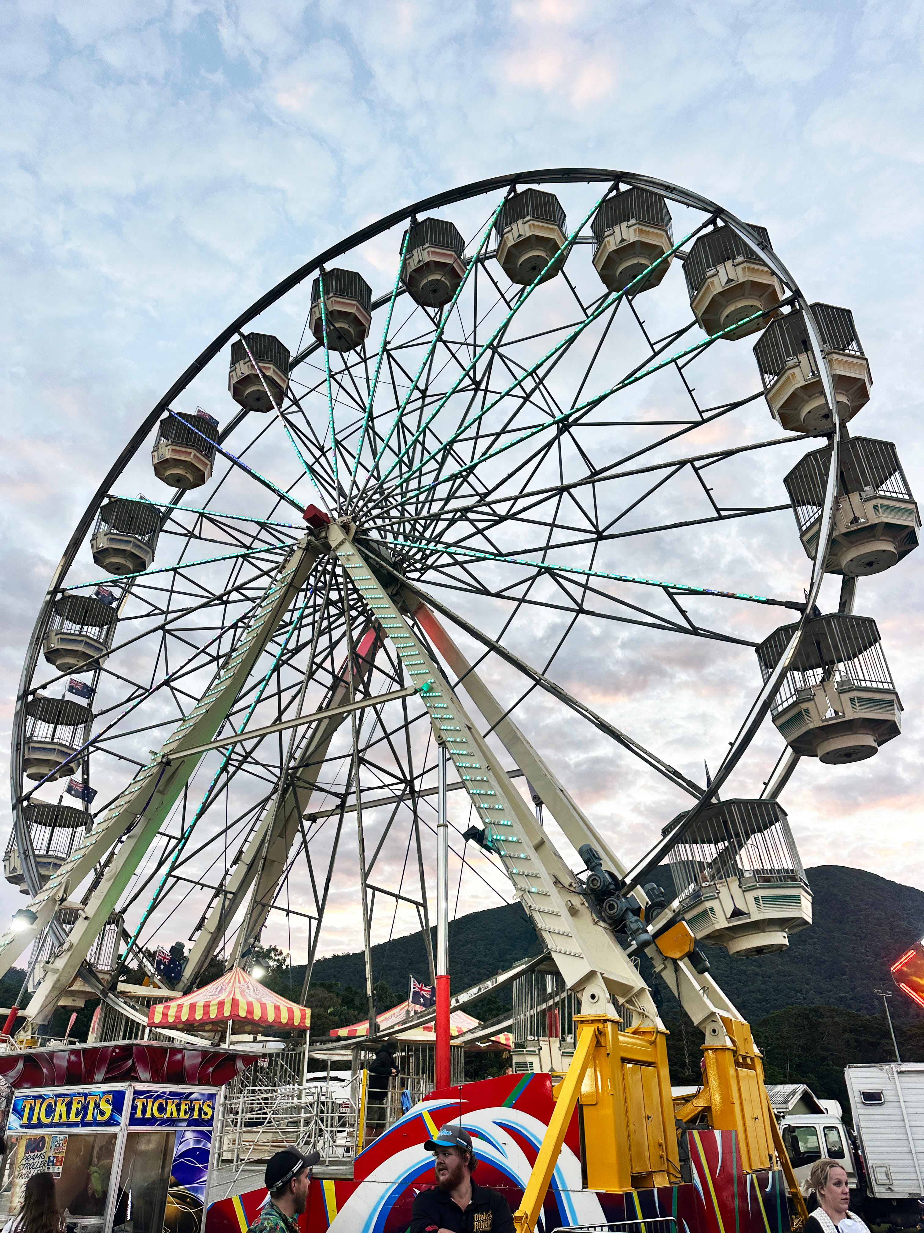
2026’s Tully & District Show featured huge Ferris Wheel! Photo Credit: Siân Bantock
Country fun and carnival thrills filled the Tully Showgrounds as the much-loved Tully & District Show returned for another unforgettable two-day celebration.
Families flocked through the gates to experience everything from award-winning agricultural displays and friendly farm animals to thrilling rides, live entertainment and spectacular fireworks, with something to delight visitors of all ages.
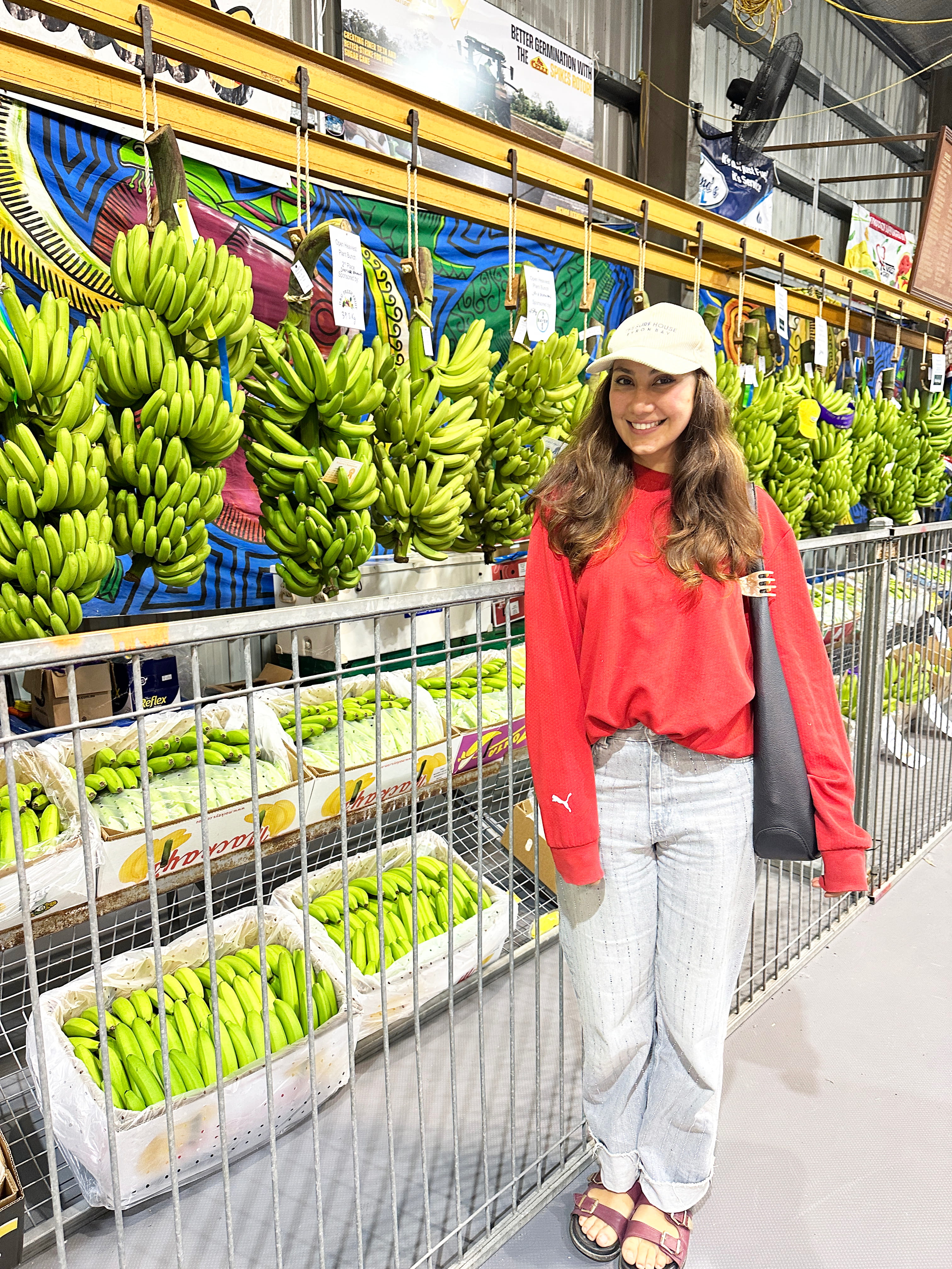
A crowd favourite, and a true symbol of the Tully Show, was the display of the region's finest bananas and sugarcane, alongside impressive fruit, orchid and botanical exhibits competing for top honours. Outside, towering agricultural machinery, a popular petting zoo and a snake handling display kept crowds entertained throughout the day.
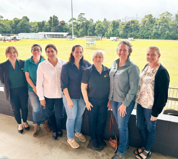
By Siân Bantock
The 2026 Tully & District Show created countless heartwarming moments, including a chance reunion between former local George Sing, who now lives in Canada, and his old school friend Karen McLeod.
"It's like nothing has changed, it's exactly how I remember it when was a kid," George said.

"I love coming back, it takes me back to my childhood and I like catching up with people I haven't seen for years," Karen said.
As darkness fell, the showgrounds transformed into a sea of lights as the Ferris wheel and carnival rides whirred into action before a dazzling fireworks display capped off the evening.
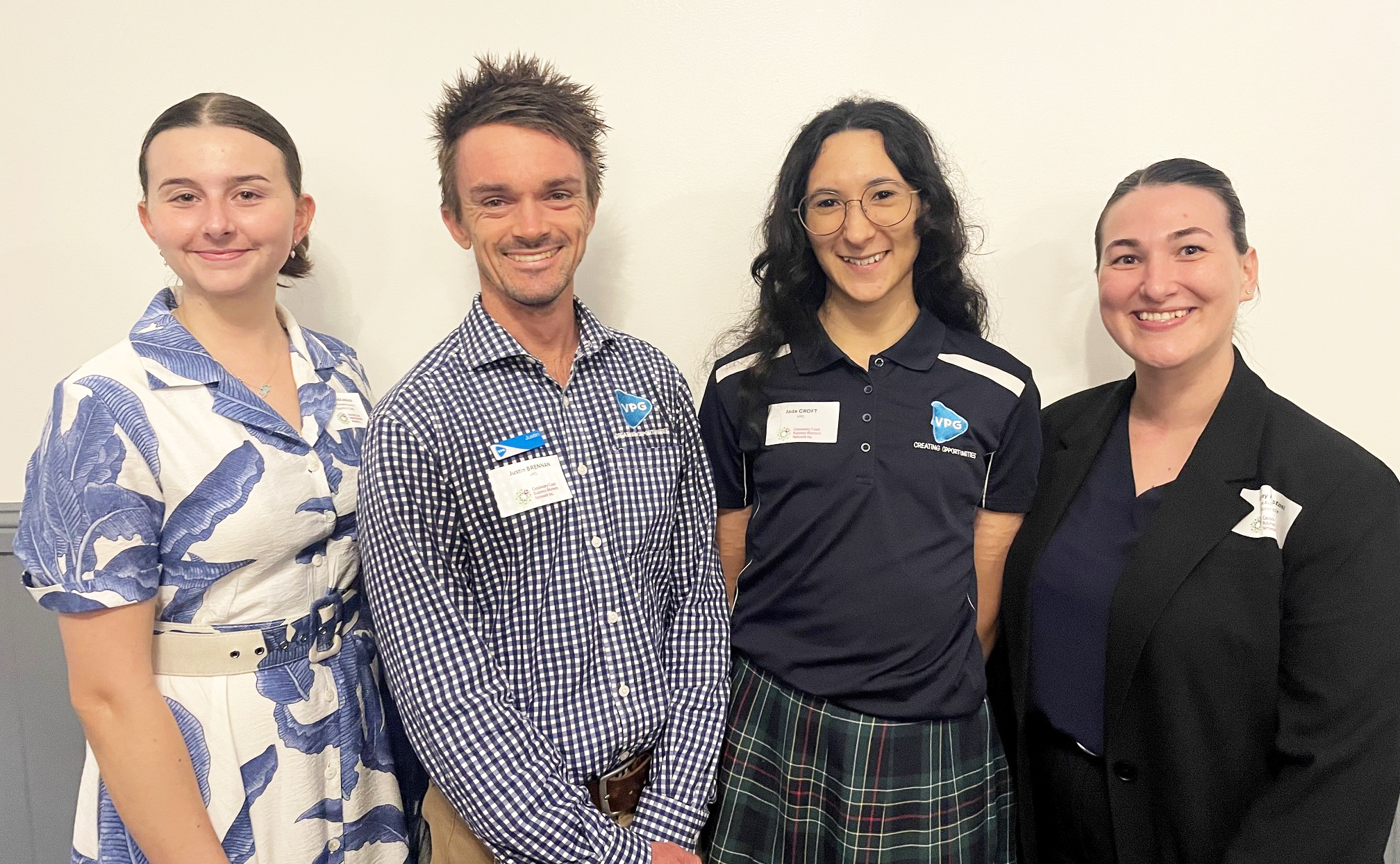
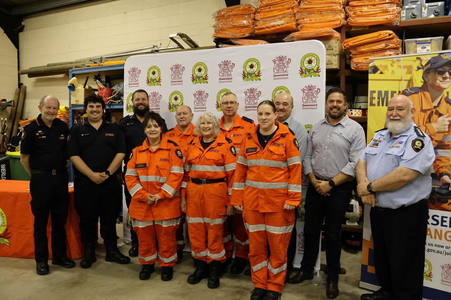
Adding to the vibrant atmosphere were community groups, emergency services and volunteers, whose support helped make the event another success.
"Today was an awesome day for all our families. Thank you for all your support," the Tully & District Show Society shared.
For more than 90 years, the Tully & District Show has celebrated the region's rural heritage, and this year's event once again proved why it remains one of the Cassowary Coast's most treasured traditions.


Publishers Indemnity. Any individual or entity that places advertising, supplies copy material, or submits editorial content to Life Publishing agrees and undertakes to ensure that all such material:- Does not infringe upon any copyright, trademark, or other intellectual property rights;- Is free from any content that could be considered defamatory, libelous, or slanderous;- Does not infringe upon any rights related to privacy or breach of confidence;- Contains no obscene, indecent, or otherwise unlawful material;- Complies fully with the Trade Practices Act and all other applicable laws, regulations, or statutes. Furthermore, by submitting or placing such material, these individuals or entities agree to indemnify and hold harmless the publisher, Life Publishing and Events Pty Ltd, and/or its agents from and against any and all investigations, claims, demands, liabilities, damages, costs, or judgments arising out of or in connection with the material provided. All material is believed to be accurate at the time of printing and remains the copyright of Life Publishing and Events Pty Ltd.
© 2026 Life Publishing Group Ltd.